AERIAL SURVEYING & 3D MODELLING
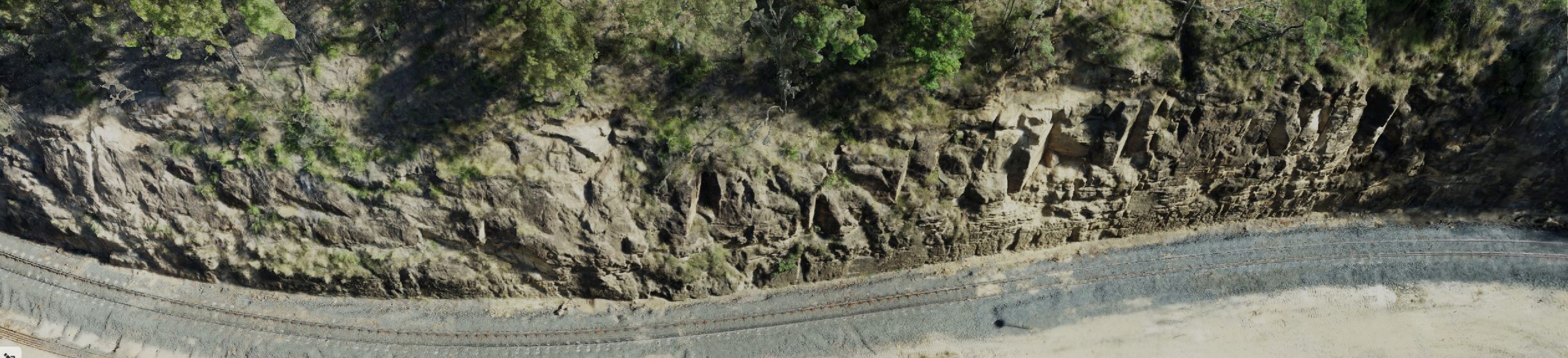
Aerial Drone Solutions utilise a range of professional UAVs purpose-built for commercial surveying to safely capture high quality remotely sensed data. Our team of experts turn this data into useful spatial information by using PPK or RTK enabled drones. When processed, that data can be delivered in full 3D models, Orthomosaic and pointclouds.
Our aerial survey & photogrammetry processes allow us to generate detailed, spatially accurate 3D point clouds and digital terrain models (DTM’s).
Applications Include
3D modelling
Topographical surveys
Volumetric cut and fill analyses
Wildlife research to track and survey animals or monitor vegetation
Disaster relief where human access would be dangerous